Tag: USA

The best countries for long distance cycling

150 travellers who completed epic cross-continental cycling journeys were surveyed.

Alee Denham at CyclingAbout.com writes » 

Each of the 150 cyclists got three votes to cast, and I simply tallied up the results. In the end, 80 different countries were favourited, which is pretty cool because that means most corners of the world have something, for somebody.

These are their top picks for the best countries for long-distance cycling »

10. 🇰🇬 Kyrgyzstan
9. 🇨🇱 Chile
8. 🇲🇽 Mexico
7. 🇦🇺 Australian
6. 🇮🇷 Iran
5. 🇮🇳 India
4. 🇨🇳 China
3. 🇹🇯 Tajikistan
2. 🇺🇸 USA
1. 🇹🇷 Turkey
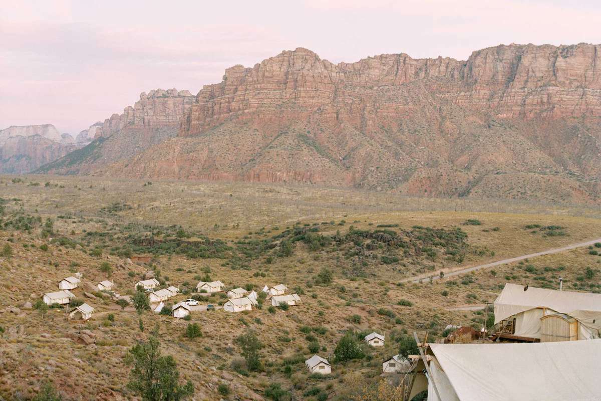
Song of Zion » There is lots to explore outside Zion National Park

(Source » Travel + Leisure)

The canyons outside Zion National Park offer incredible hiking, horseback riding, and rock climbing opportunities.

Hermione Hoby, writing for Travel + Leisure »

The air smelled like hot dust and cool pine trees. For a time, the canyon was soundless, except for the click-clacking of our carabiners. Unthinkably far below lay the silvery ribbon of Kolob Creek, a tributary of the Virgin River, which carved the mighty main canyon of Zion.

We paused, halfway or so along our route, to take in one of the hanging gardens, where an overhang of “weeping rock” creates a microclimate—a bright green, mossy efflorescence tucked into the side of the canyon. The occasional tree gave me pause, too: some little specimen asserting itself from the side of the rock face, flourishing against all odds.

Our route ended in a 100-foot vertical ascent that, in a mild fit of masochism, I resolved to climb without stopping. Breathless and triumphant at the top, I then followed Wright out to a terrifying overhang of rock where he encouraged me to lean back and let go.

More »

Video » San Francisco Bay from Space

This video from space of San Francisco Bay, California is brought to us by the European Space Agency (ESA).

San Francisco Bay, almost 100 km in length, is a shallow estuary surrounded by the San Francisco Bay Area – an extensive metropolitan region that is dominated by large cities such as San Francisco, Oakland and San Jose. The densely populated urban areas around the bay contrast strongly with the surrounding green forest and park areas.

In the upper right of the image, the delta of the Sacramento and San Joaquin rivers is visible – with the brown, sediment-filled water flowing down into San Pablo Bay. Here, the murky waters mix before flowing into the larger bay area, which is connected to the Pacific Ocean via the Golden Gate strait. A large sediment plume can be seen travelling westward into the Pacific in the left of the image.

The Golden Gate Bridge, around 2.7 km long, is visible crossing the opening of the bay into the Pacific Ocean between Marin County and the city of San Francisco – which can be seen at the tip of the southern peninsula in the centre of the image. Treasure, Angel and Alcatraz islands can be seen sticking out of the waters of the bay, with several bridges connecting its east and west shores. Several boats are also visible.

The bright green and yellow colours in the bottom right of the image are salt ponds and are part of the Don Edwards National Wildlife Refuge. Covering an area of around 120 sq km, the refuge contains salt marsh, mudflat and vernal pool habitats for millions of migratory birds and endangered species.

Read more »